|
|
| Return to Table of Contents |
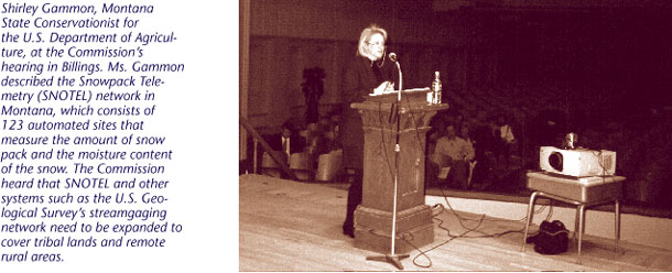
cost-savings measure. Farmers receive technical and financial assistance as well as an annual rental payment for installing and maintaining this land in permanent vegetative cover. In 1996, Congress consolidated several of the Agriculture Department’s cost-share programs and created the Environmental Quality Incentives Program. The primary purpose of this program is to help farmers address their water quality problems. But it also provides technical and financial assistance for the installation of water conservation measures as well as livestock watering facilities. Cost-share is provided through long-term agreements that address an entire farm’s resource needs. At the Commission’s hearing in Billings, Montana, however, witnesses said that the procedures related to this program limit their ability to obtain financial assistance to install proactive drought mitigation measures such as cross fencing and livestock watering developments. We note that we did not develop specific recommendations for coordinating drought mitigation measures among the different levels of government. We believe that regional intergovernmental groups must take responsibility for such coordination if it is to be effective and accepted. We do make recommendations, however, regarding coordination of federal drought mitigation and other drought-related programs to increase their effectiveness in assisting regional, state, local, and tribal drought planning and mitigation efforts. Monitoring/prediction and Research. About 22 federal programs have some responsibility for drought monitoring/prediction and research. In relation to monitoring and prediction, these include programs that focus on weather patterns, climate, soil conditions, and streamflow measurements. Examples are three networks—the Department of Agriculture’s Soil Climate Analysis Network (SCAN)/Snow Telemetry Network (SNOTEL), the National Oceanic and Atmospheric Administration/National Weather Service’s Cooperative Observer Network (COOP), and the U.S. Geological Survey’s streamgaging and groundwater monitoring network. The U.S. Army Corps of Engineers both uses and supports non-Corps federal monitoring systems and has developed its own remote data sensing network to manage its reservoirs. We heard, however, that such programs are not always available in some areas such as on tribal lands and in remote rural areas. A case in point is the U.S. Geological Survey’s streamgaging and groundwater monitoring network. This finding echoes a conclusion reached by an external task force recently assigned to review the Survey’s Return to Table of Contents | (continue)
|
 |
|
|
